
Descending the SOUTH KAIBAB TRAIL
This is a story about myself and my husband Kyle taking our First Backpacking Hike in one of the most amazing natural places on earth. And if you guessed The Grand Canyon, Arizona, USA…Then you were right! The “mountain lying down” defines the canyon as Native Indians gave the name “Kaibab” to the Grand Canyon. I like thinking about the Grand Canyon as an inverted mountain as we hiked with so many layers of different rocks dating back millions of years ago. As you hike further into the depth of the canyon just imagine climbing a vertical mile of depth into the earths core.
After months of planning, research and training we arrived at the Grand Canyon early March for our 3 day stay which included 1 night tenting at Bright Angel Campground down in depths of the Canyon and 2 nights on the South Rim (before and after hiking).
We settled into the El Tovar Hotel for the first night, a wonderfully rustic place filled with history located on the edge of the South Rim within the Grand Canyon National Park. The afternoon temperature was 46 degrees and partly sunny. The next day’s forecast was snow the day for our hike then turning into rain as we descend deeper into the canyon. So we asked ourselves do we go for it, this is not something you can reschedule. A Back Country permit is required to spend the night at Bright Angel Campground which must be applied for 4 months in advance. We received notification in November that we got the permit for March. So we got ready as scheduled and watch the weather in the morning with the understanding of weather changes.
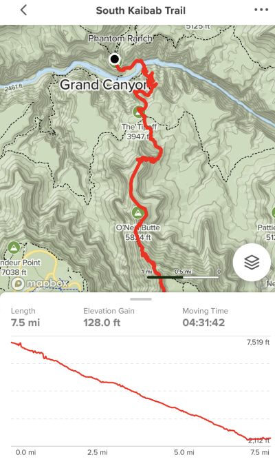
We woke up early the next morning, the temperature is cold but no snow yet, we finished our last minute packing of our Backpacks and headed out to catch the early bus to the South Kaibab Trail. After almost missing the bus, we got on for a 30 minute bus ride to the South Kaibab Trailhead. There were a few other Hikers onboard with us. As we got closer to our starting point, snow flurries started. By the time we reached the South Kaibab Trail Head snow was really falling down with fair visibility of the trail and the inner canyon. Without the glorious views we expected but beautiful snowflakes, we put on our micro spikes causing our hands to feel colder and colder, we grabbed our trekking poles and started down the snowy, icy trail with gusty winds making visibility limited. Our starting elevation was 7,208 feet!
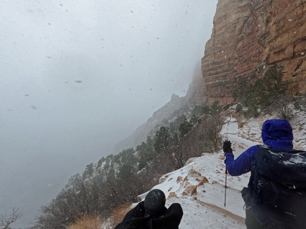
Once we got moving, we warmed up a bit with the challenging trail with switchbacks, natural steps and steep down ward hike with snow and windy conditions. Skies were gray, low clouds which felt very close to us as the snow kept coming down with huge snow flakes …simply beautiful.
At 1 mile we arrived at Ooh Aah Point, at 6,444 feet elevation, we removed our micro spikes and hiked on as snow falling was slowing with more beautiful views appearing.
At 1.5 miles we arrived at Cedar Ridge, 6,085 feet elevation, gave the magnificent Cedar tree a hug, feeling exhilarated and energized to keep hiking on.
At about 3 miles we had descended more than 2,000 feet in elevation to arrive at Skeleton Point, 5,175 feet elevation and we could see why its called skeleton point.
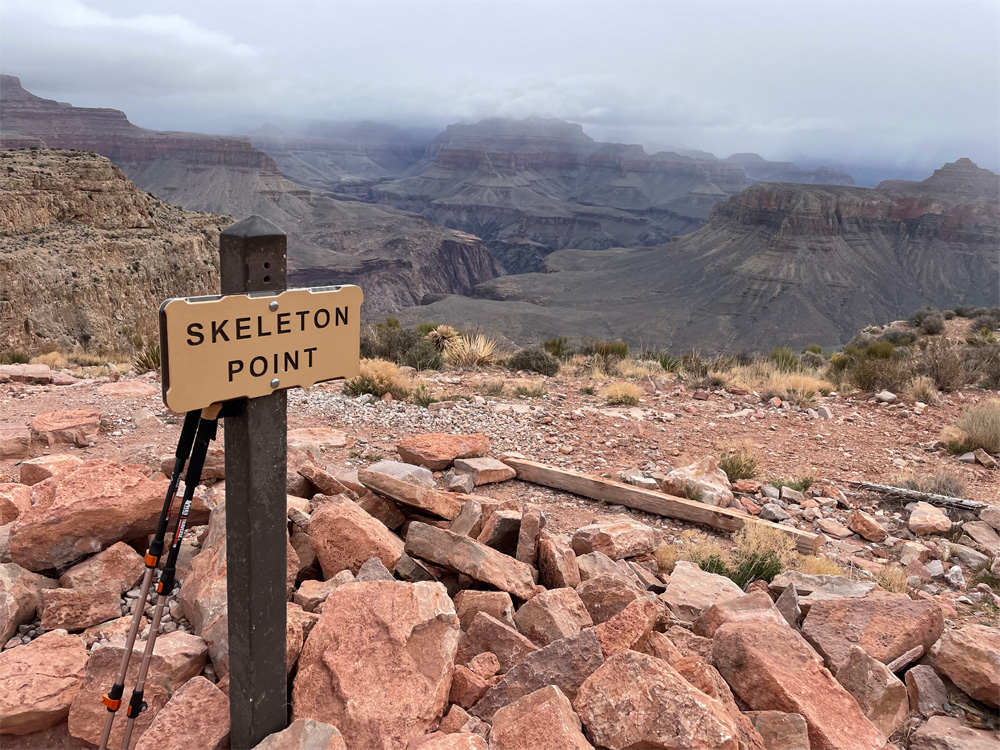
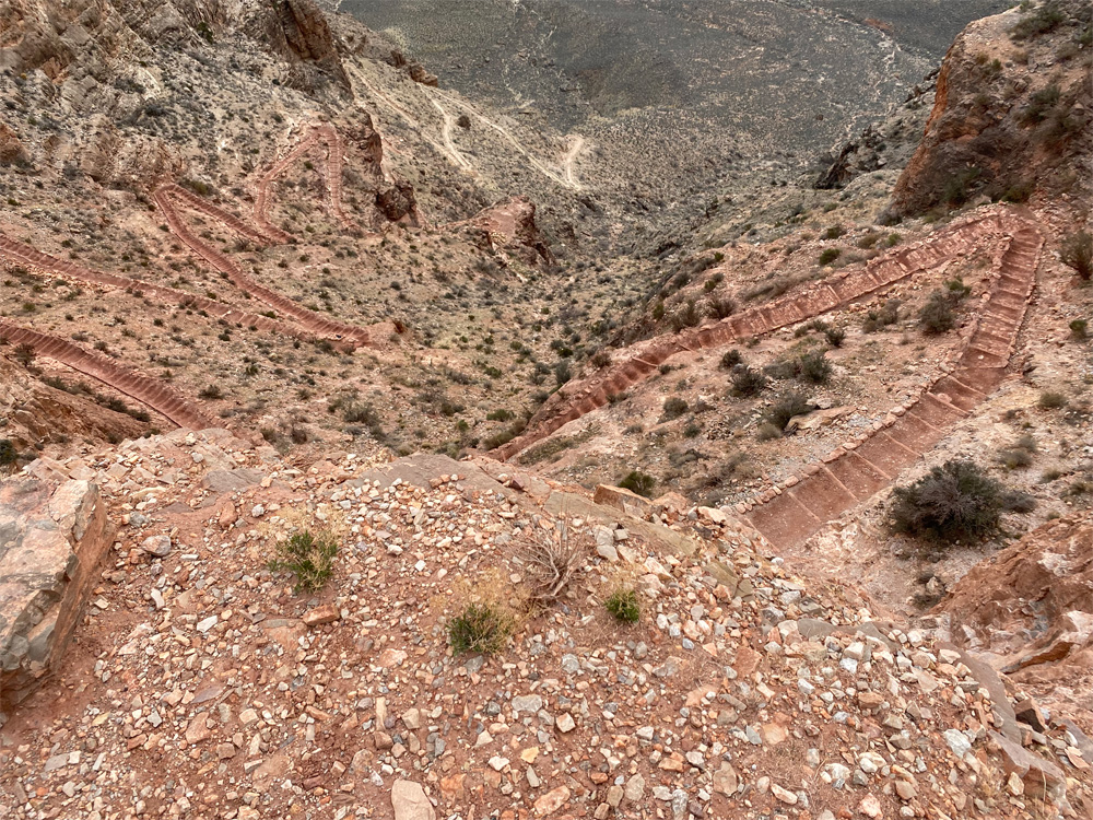
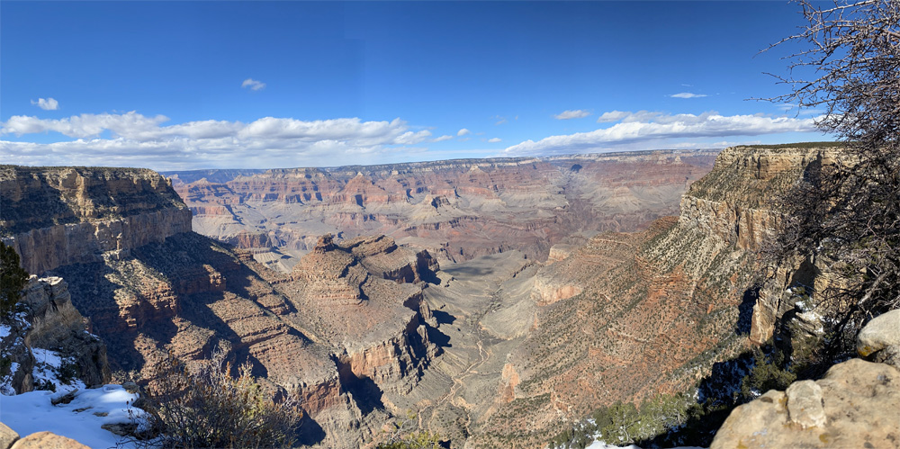
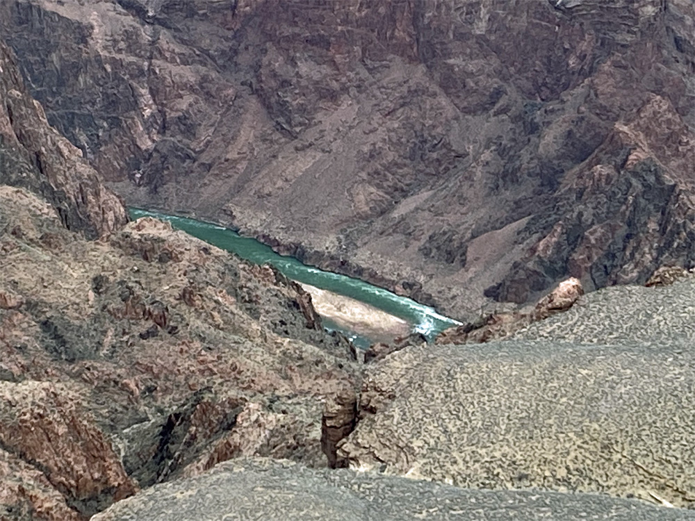
Then our first view of the Colorado River was revealed, we were not disappointed. This is more outstanding than I ever imagined or experienced in my IFIT training which floored me. The Colorado River was so beautifully emerald green, bright sparkling water flowing with a current and I was in aww. The trail is amazingly steep with many switchbacks looking like a skeleton of this bright red limestone rock.
As we continue our descent, the views of plant life along the trail and the canyon walls open up into this iridescent green/blue color and as I looked there was a Squirrel standing there looking at us! I don’t know if I was imagining it but the squirrel appeared to be the same color as the plants. Ok…I’m thinking maybe I need a a drink of water then we should hike on, we have 2,500 more feet of descend! Enjoying the views of the rock layers as they change and became more visible to our eyes.
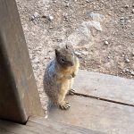
Deeper into the canyon, we arrived at somewhat of a clearing called Tipoff Point, 3,947 feet elevation where the Tonto Trail intersects the Kaibab Trail. There is a Mule stop, an Outhouse and a covered shelter to take a well deserved break. This Rock Squirrel was hoping to have a snack with us but that’s a no-no!
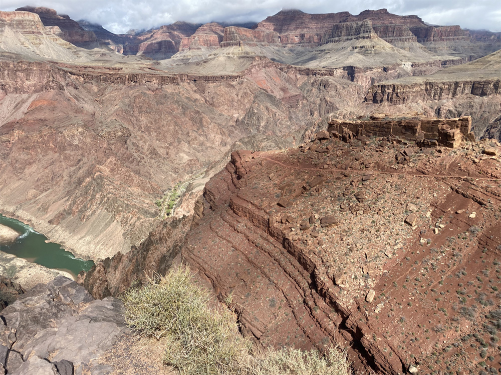
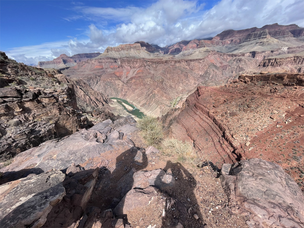
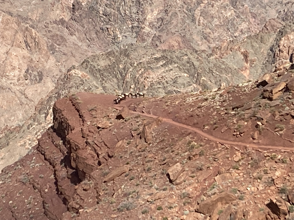
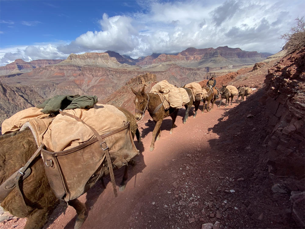
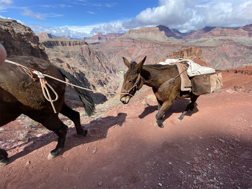
As skies began to clear, we had a wider view of the rock layers, cliffs, and the magnitude of this beautiful place. We left the squirrel for the next hiker and hiked on…next stop Panorama Point, another 0.4 miles of beautiful red limestone views with closer views of the Colorado River and the trail that is upon us. In the distance we saw Panorama point with a Mule train taking a break. We hiked further as the mule train passed us. The mules were grand and followed along one by one carrying what appeared to be heavy loaded packs.
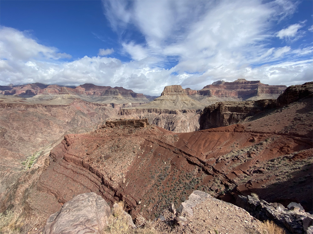
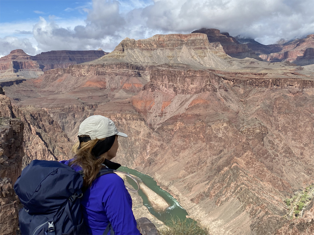
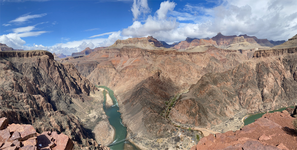
We reached Panorama Point ,3,620 feet elevation, and the panoramic views of the river and the suspension bridges. Still another 1.1 mile hike to descend the canyon. The weather was warming up and time to remove a layer and gloves. Our goal is visible now on the north side of the river check out the photos below.
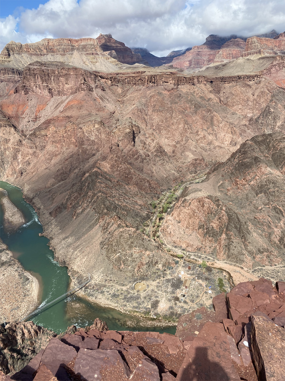
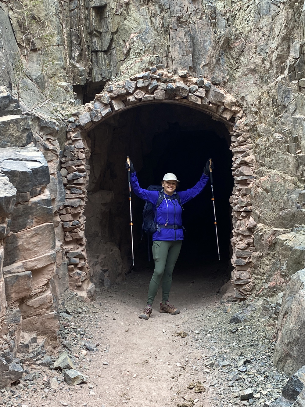
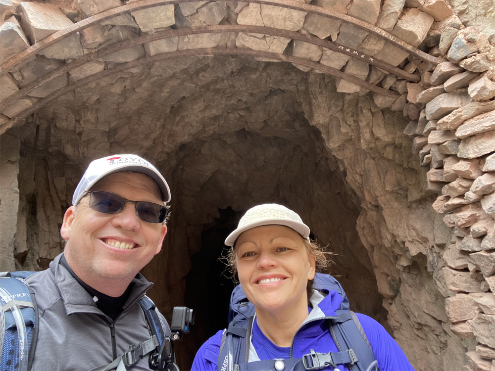
The Trail was winding around and continued a steep descent with ever changing colors of rock layers and looking back we saw how Kaibab trail got its name “the mountain lying down” or inverted mountain to me. Just imagining the rock formations and how this grand canyon was carved out years ago …… the mystery and geology are another post. The views of suspension bridge looked larger than I had imagined. On and on, we finally saw the tunnel which is the connection to the bridge crossing the river to the north side of the canyon.
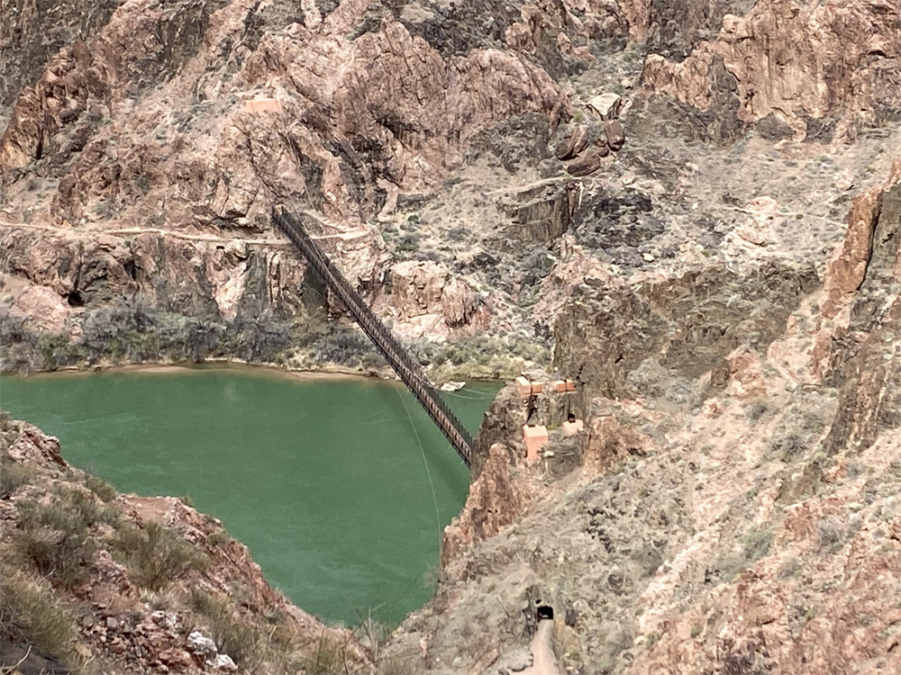
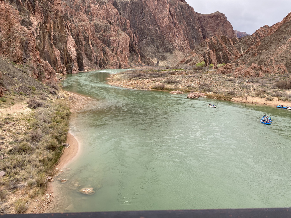
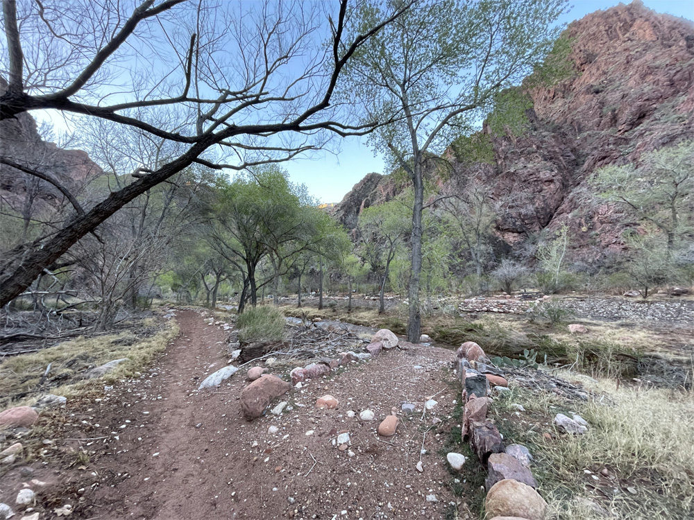
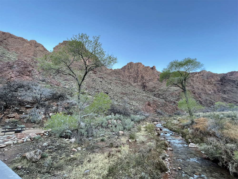
Crossing the suspension bridge at 2,425 feet elevation, which is 440 feet long, felt was very steady to walk across, the bridge is made of wood and suspended above the green Colorado River, brightly sparkling with the sun shining upon the water, rocks of all sizes, currents flowing and river boats parked along the side. Another 0.6 mile of a flat hike to Bright Angel campground 2,489 feet elevation, along the river side, different types of plant life and trees and a snake too. The Trail led us to a beautiful creek along the campground which had such a soft, gentle relaxing sound of calm and peace.
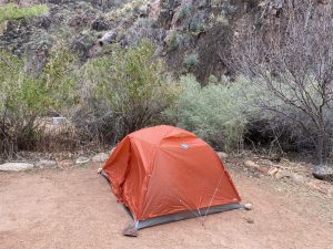
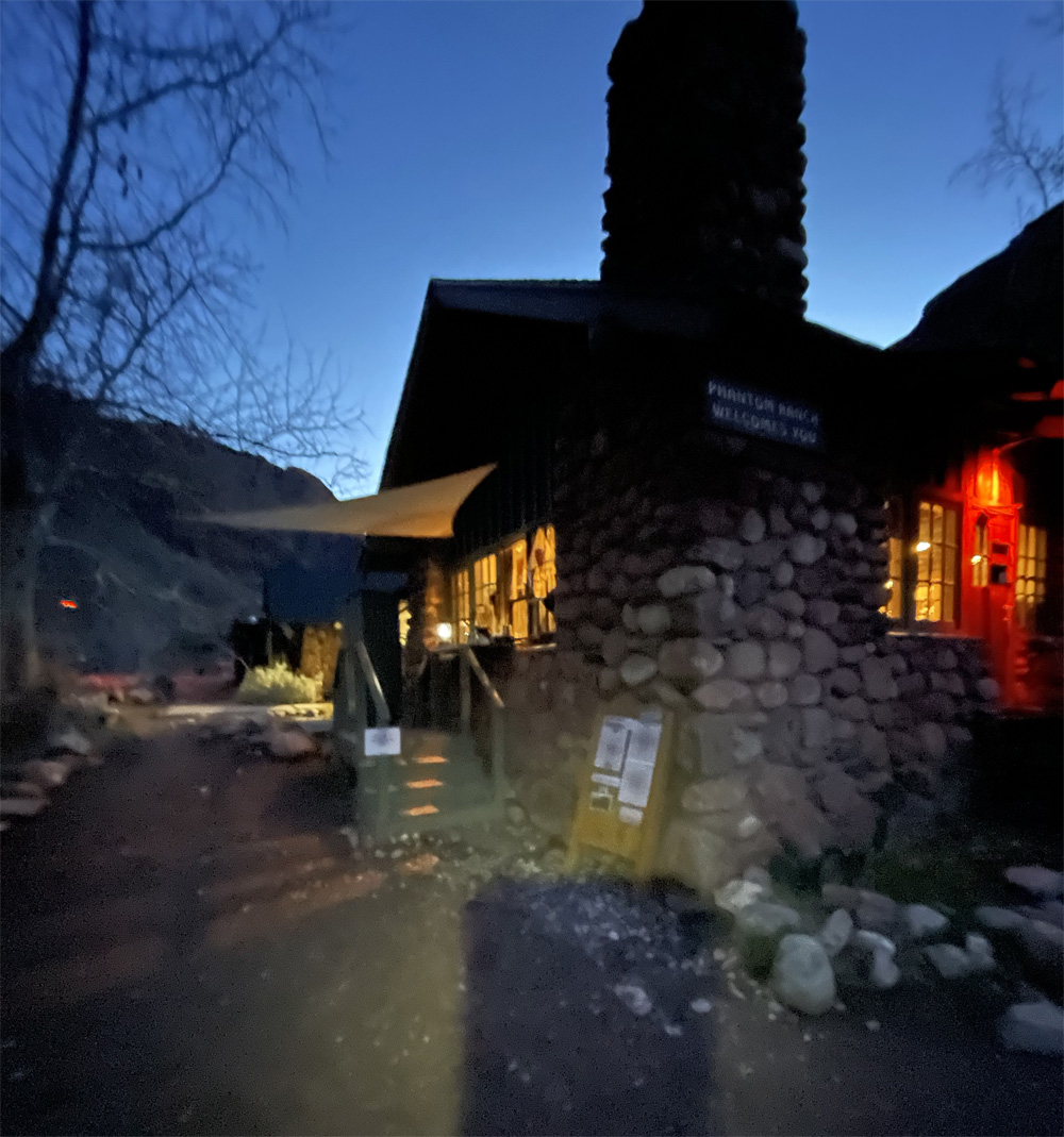
We arrived to an empty campground that was supposedly sold out. Only one site was taken by a group of 4 hikers. The weather was windy and cold. We chose Campsite #16 which was close to the cliff rock side of the campground. We set up camp just in time for the rain to begin. Then walked over to Phantom Ranch Canteen to get a bagel with peanut butter, hot tea and coffee. We walked back to the tent and took a rest after warming up with hot drinks and warm sleeping bags. Finally the afternoon rain stopped just before dinner time. Grateful to get out and stretch our worn out legs. Coming out of our tents we saw almost all sites had campers. Wow when did all the hikers arrive? Guess we were well ahead of everybody.
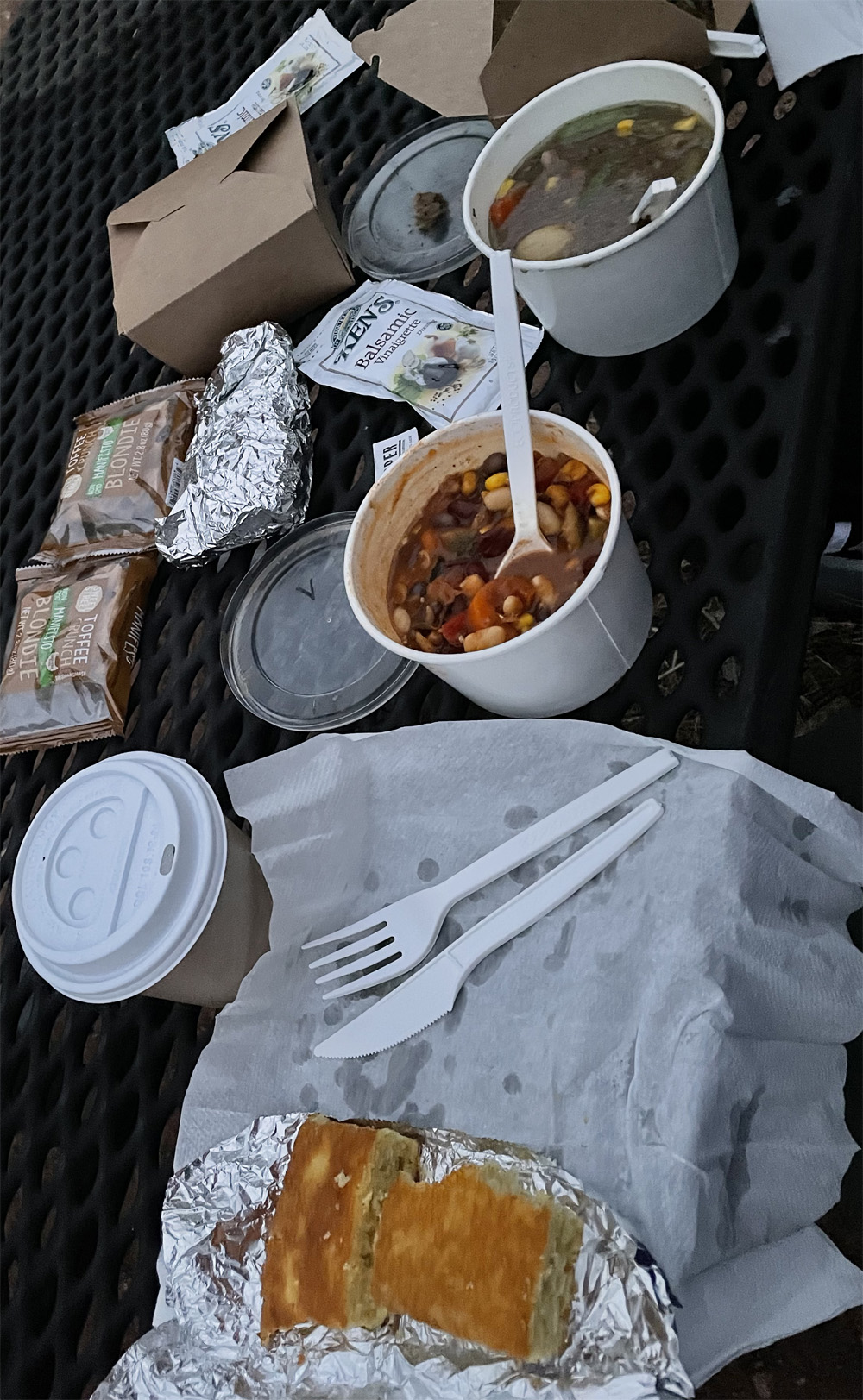
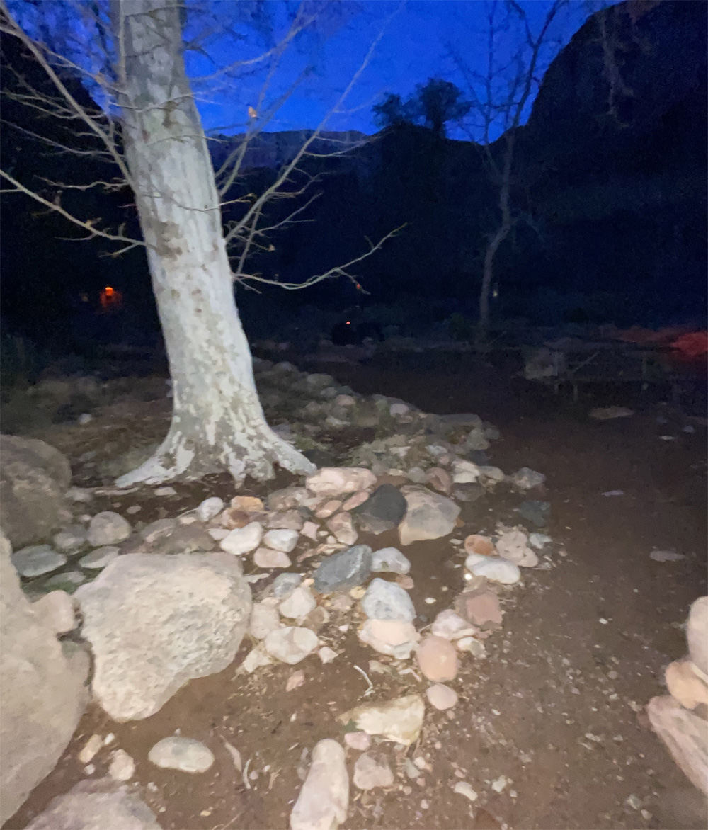
Dinner was take-out only so we grabbed our meals and headed to a picnic table. We sat down next to the the creek making peaceful sounds with the dark night sky settling in. Dinner was delicious and hot, the meal really warmed us up. We grabbed a hot tea, used bathroom and headed to tent for the night. With a record low temperature for March, we had a restless, cold night sleep. I was amazed at the sounds of the airplanes flying over head, you could feel the earth’s vibration. So, I focused on the sounds of the peaceful creek and water flowing ever so soothingly.
Early in the morning we unzipped the tent to discover the most magnificent skies I’ve ever seen. The stargazing took my breath away as much as the cold weather. But the clear dark blue sky was brilliantly filled with bright stars, constellations and just glorious. We enjoyed our breakfast under the stars by the Canteen. Breakfast tasted so delicious pancakes, sausage, scrambled eggs with warm maple syrup and coffee. What a perfect amenity to be sure and order ahead of your hike to lessen the backpack weight. And we really enjoyed the warm meals and drinks too.
We decided to take down our tent and head out for an early hike. The tent had ice crystals on the outside with a mere 32 degree temperature. The skies were waking up with a clear blue bright color without the clouds of yesterday. The sounds of the calm peaceful creek beautified our experience. So, I meandered over to the Canteen to drop off postcards for the Mule Mail. As I am posting this article, the Mule Mail postcards have not arrived yet.
Thankfully, our legs and body felt really pretty good from the 8 mile hike down South Kaibab Trail. Ready for our journey back to the South Rim.
Other Links:
Video of our climb out the canyon
Video of our climb into the canyon
Blog Posts: Our Decent, Our Ascent, Our Equipment, Preparation Part 1, and Preparation Part 2